个人信息
- 加入于 2018-06-21 23:46:36
- 最后登录时间 1年前
个人成就
- 发表文章次数 217
- 发布回复次数 1521
- 个人主页浏览次数 321
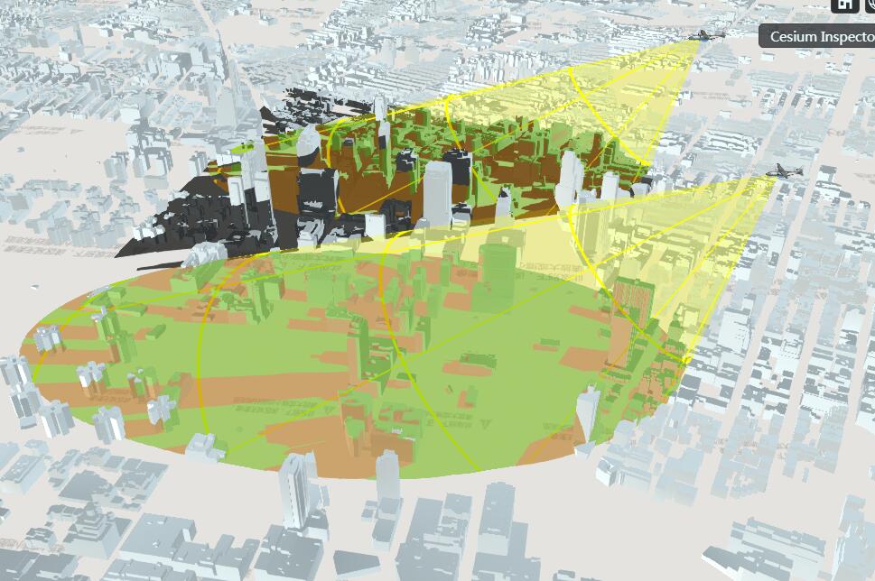
请问,cesium的有可视区域分析吗?7年前
- shadowMap封装好了,用起来还是很方便啊
- shadowmap有个bug,设置不是光源的话,遇到透明物体就报错,所有第一个shadowmap还能看出来阴影
- 指定任何material,material的grid啊,就是网格,照片也可以,那就是image material
- cesium的boxgeometry,frustumgeometry,看下源码就清楚了
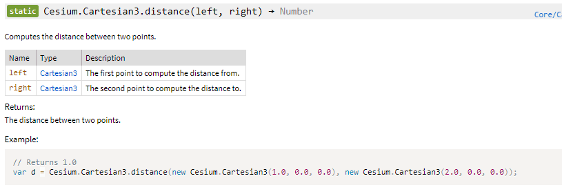
请问一下三维球上面怎么计算两点之间的距离呀7年前
这个看你用球是正球,还是椭球。
正球好算,椭球就麻烦了。在大地测量学里的白塞尔算法是比较好的计算椭球上两点距离的算法。
正球计算大圆弧长就行了。椭球的话,大地测量学里有高斯算法(这算法近距离精度可以,300公里以内吧),白塞尔的方法远近都还好,算着麻烦!
哪位知道UrlTemplateImageryProvider 请求的切片跨域怎么解决啊7年前
跨域是服务器端问题
Geoserver用的是tomcat,你设置tomcat
配置页面代理,这个你从网上找一下
重置场景的lightCamera,无论位置设为多少,投影都是这样,怎么解释7年前
但是相机不是光源
new Cesium.ShadowMap(options) Use Viewer#shadowMap to get the scene's shadow map originating from the sun. Do not construct this directly.
The normalOffset bias pushes the shadows forward slightly, and may be disabled for applications that require ultra precise shadows.
写得很清楚啊 from the sun
镜头旋转的时候地球场景是倾斜的为什么,有什么办法固定成平行镜头7年前
camera.setView({destination:camera.positionwc,orientation:{heading:camera.heading,pitch:camera.pitch,roll:0.0}})


